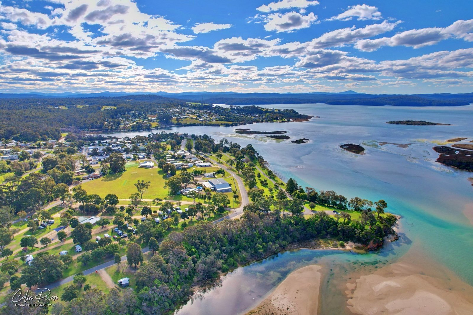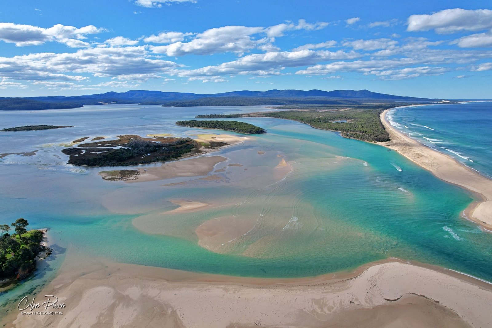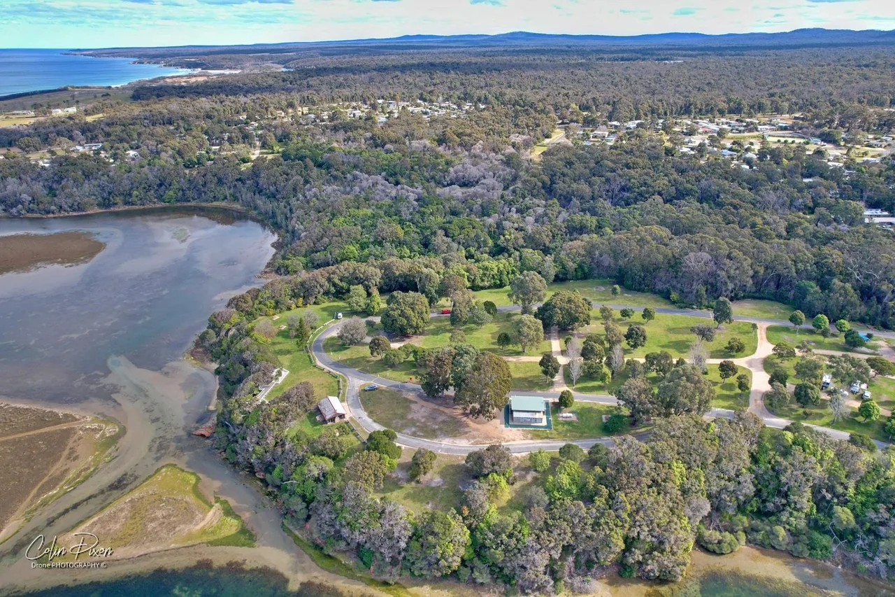
The mouth, Captain Stevenson’s Point and Foreshore Park, 15 August 2021
Three named places on the inlet
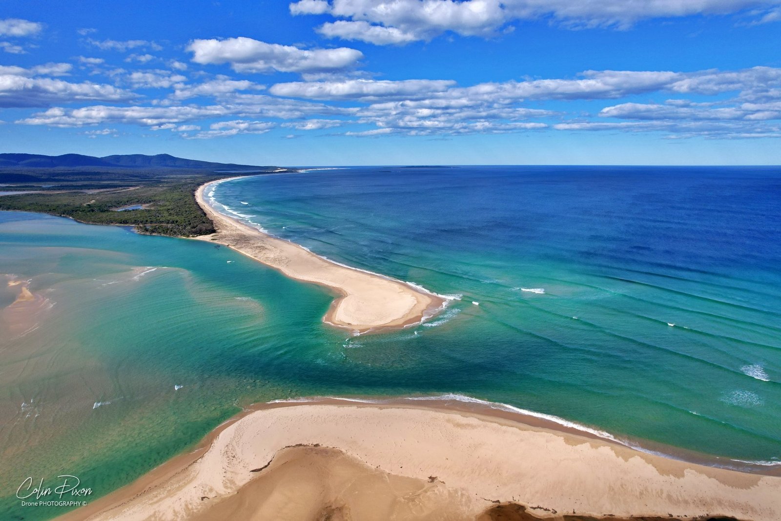
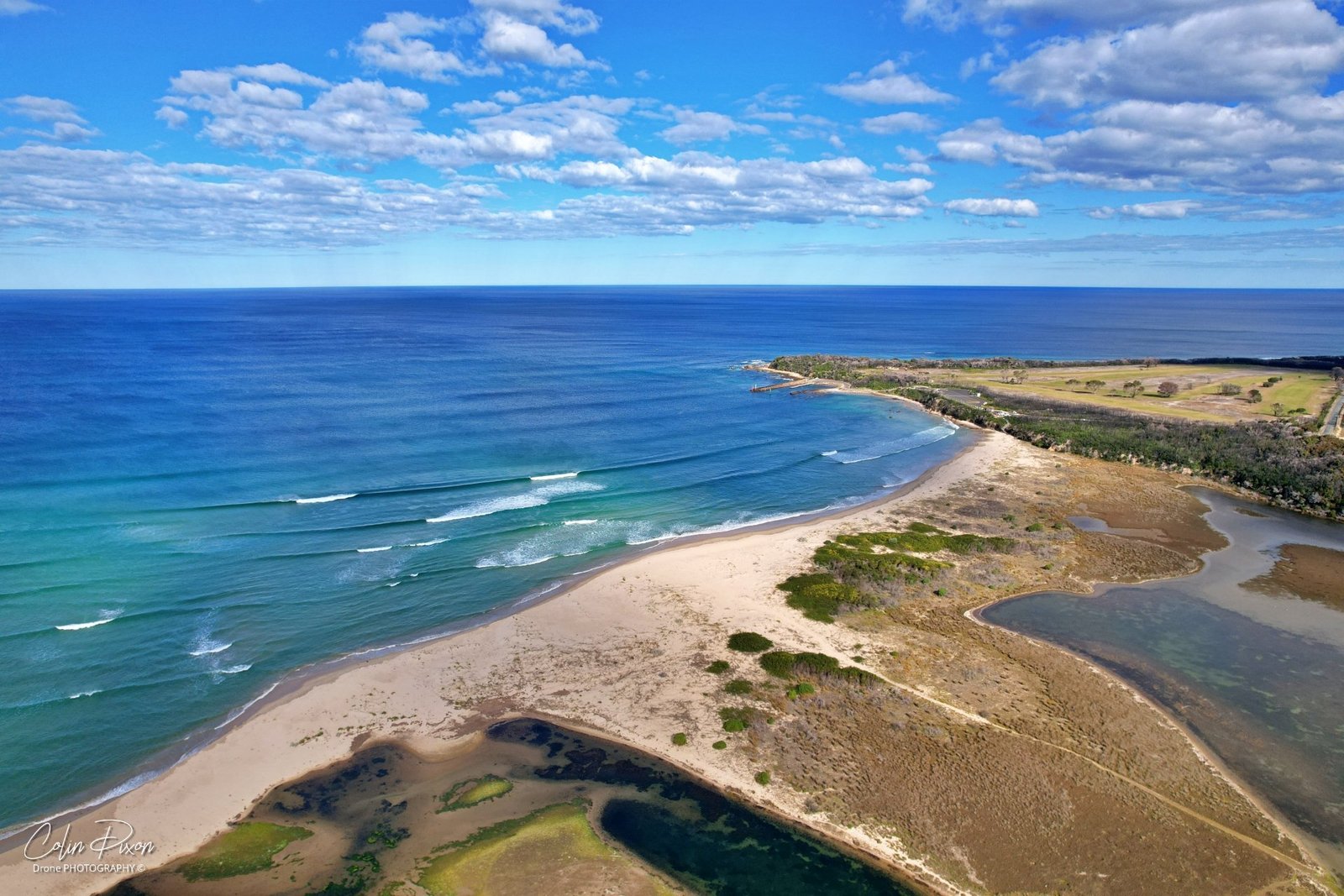
On 15 August 2021 I photographed the lake from the mouth, Captain Stevenson’s Point and Foreshore Park. Those three names were the original caption, and they still describe the set.
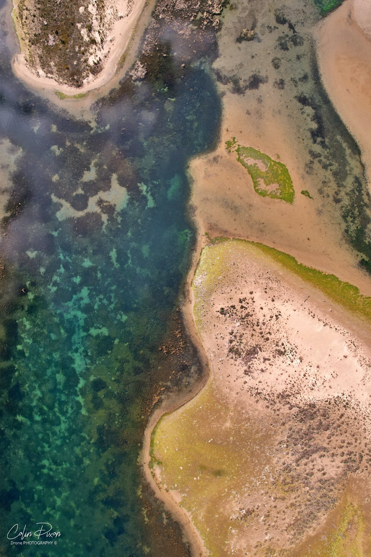
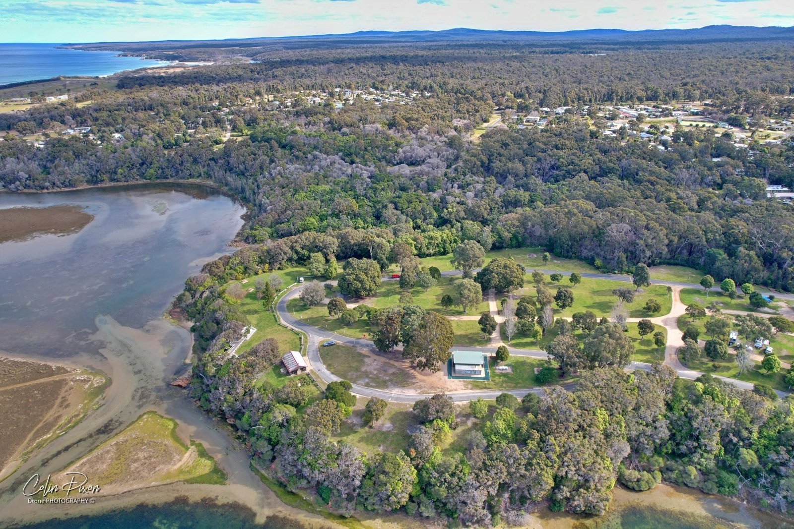
The six photographs, taken from the drone, look over the inlet and the park. One frame looks down on the shallow edge of the water, with sand and weed in close detail. Another stands back over Foreshore Park itself: the lawns and roads of the camping area, the inlet beside it, and the town among the trees.
Captain Stevenson’s Point is the familiar lookout along this shore, and the mouth is where the inlet meets the sea. I have not tried to write a continuous flight path I cannot confirm from the files. The pictures and the video are the record of that mid-August look around the lake.
The post went up on 17 August. The title and the file names point to the 15th, and that is the date I have used here.